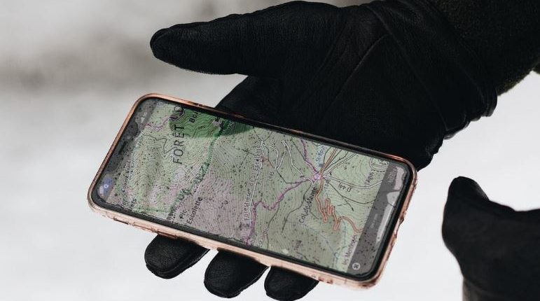
At the time when the GPS was invented, its primary focus was to serve military purposes. Fifty years have passed and it’s hard to imagine our lives without GPS, as it’s implemented in every smartphone by default.
Here’s how GPS works in a nutshell: the data from a tracking device called a GPS receiver are transmitted to the GPS satellites and calculates the distance from the device to a satellite. The signal needs to be received by at least 3 satellites (preferably 4) to calculate the distance to each of them and synchronize the information of the clock, the receiver and the satellite to define the precise location. The very method is called triangulation, as three mediums are used: GPS receiver forwards the signal to the ground station which uses a radar to confirm that the coordinates of the satellites are accurate, and it transmits the information to the satellites.
Now, determining the geolocation goes far beyond its initial purposes. So what are other advanced applications of GPS technology?
Optimizing business processes
Companies offering ready-to-go solutions or custom API integrations for any needs like Samsara, be it GPS tracking for trucks and other vehicles, or software for navigational systems, can bring your business onto a completely new level. Industries with logistics departments all over the world GPS-based web applications. Smart technologies allow combining Artificial intelligence and Machine learning to analyze the GPS data and improve business operations. One of the applications is the improvement of transportations. Choosing the optimal routes, ensuring the best cargos and drivers’ security, calculating the fuel consumption more precisely, monitor the stats of individual vehicles to have a better overview of their condition and amelioration of fleet management are just to name a few of the benefits the industry has with the GPS solutions.
Study natural phenomena
As the GPS signal depends on the state of the atmosphere, by monitoring these signals, it’s possible to use the data in climate studies and provide more precise meteorological data. E.g water vapors delay the GPS signal, so it’s easier to predict rainfall patterns, humidity level, etc. Also, it’s widely used by scientists in the areas of scientific experiments, like monitoring the tectonic moves or examining the effects of solar eclipses.
Predicting disasters
Following the observation of natural phenomena, GPS techniques allow analyzing the changes like seismic shifts. This makes it possible to predict the disasters like earthquakes, tsunamis, volcano eruptions, and others before their signs are visible so that people have enough time to safely leave their homes. Also, it helps to avoid aviation incidents, as using GPS navigational systems, pilots make decisions based on their precise geolocation that allow them to correct the course and safely land if the weather conditions do not allow them to continue the flight. It’s a common practice to use GPS in auto-pilots in cars that can plan the route based on the traffic lights, information about the traffic gems, and measure the distance to other cars to drive safely.
Assistance in Rescue operations
GPS can save lives and make rescue operations more effective. When there are extreme situations when a person is injured and cannot move, the GPS signals allow determining their location for a rescue team to find them in time. When it comes to emergency service calls, when a call is received, it allows to track the caller’s location and find the agents who are within the closest proximity so that a person receives help as soon as it’s possible.
With the general tendency to technological progress, the GPS is not staying behind and constantly finds new ways of its applications. So how are these advancements sustained? Right now, there are 31 active satellites in the space segment according to the data of GPS.gov organization and there’s an actively ongoing GPS III project aimed at coverage and operational enhancements, so there’s more yet to come in the next few years.


